Goal and Background
The primary goal of this lab exercise was to develop an understanding of the evaluation of the accuracy of image classification results. As accuracy assessment is a necessary step in image classification and an important part of image post processing, this was a concept that was important to have a quality understanding of. To conduct this accuracy assessment for this lab, we both collected ground reference testing samples and then used those samples to conduct the accuracy assessment of our classified images.
Methods
Part 1: Generating ground reference testing samples for accuracy assessment
Part 1 of this lab was dedicated to the collection of ground reference testing samples that would later be used to judge the accuracy of a classified image. To do this, we first opened up our unsupervised classification image from our Lab 3 - Unsupervised Classification lab into one viewer in Erdas Imagine followed by a high resolution areal reference image of the same study area in another viewer. Next, we clicked on Raster>Supervised>Accuracy Assessment to open up the Accuracy Assessment dialog window. Once opened, we brought our unsupervised classification image into the tool using the folder connection button and then using the Select Viewer button, we selected the viewer containing the reference image of the study area to create the ground reference sample points in. Once this was done, in the accuracy assessment window we clicked on Edit>Create/Add Random Points. This opens the Random Points dialog box, which was used to select the five informational classes of our classified image using the Select Classes button, set the number of points to 125, select the Stratified Random Distribution Parameter, and set the Minimum Points to 15. Once all these parameters were set, the Ground Reference Testing Samples were all created so that they could be used to conduct an accuracy assessment of the unsupervised image.
Part 2: Performing Accuracy Assessment
Once all of the Ground Reference Testing Sample points were properly generated, the next step was to analyze them to conduct the accuracy assessment. To do this, only 10 points at a time were set to be visible on the reference image with the 125 points so as to make the analysis easier. For each individual point on the reference image, the point was zoomed into to see exactly which LULC class it fell into. Each point was assigned a value of 1-5 representing which LULC class it fell into. Next, in the accuracy assessment window, Report>Accuracy Assessment was clicked to generate the accuracy assessment report. In this report, the statistics like overall accuracy, producer's accuracy, and user's accuracy can all be found and calculated as well as the information necessary to fill in the Error Matrix Table.
Part 3: Accuracy Assessment of Supervised Classification.
Part 3 of this lab was simply a repeat of the steps that were conducted in both parts 1 and 2 but with the supervised classification image that was created in Lab 4 rather than the unsupervised image that was used in the previous accuracy assessment.
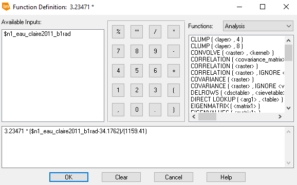
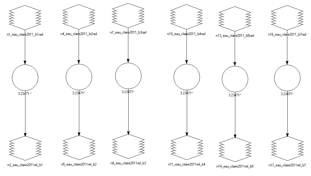
es for accuracy assessment
Results

Unsupervised Classification Error Matrix

Supervised Classification Error Matrix
Sources
Landsat satellite image is from Earth Resources Observation and Science Center, United States Geological Survey. High resolution image is from United States Department of Agriculture (USDA) National Agriculture Imagery Program.